

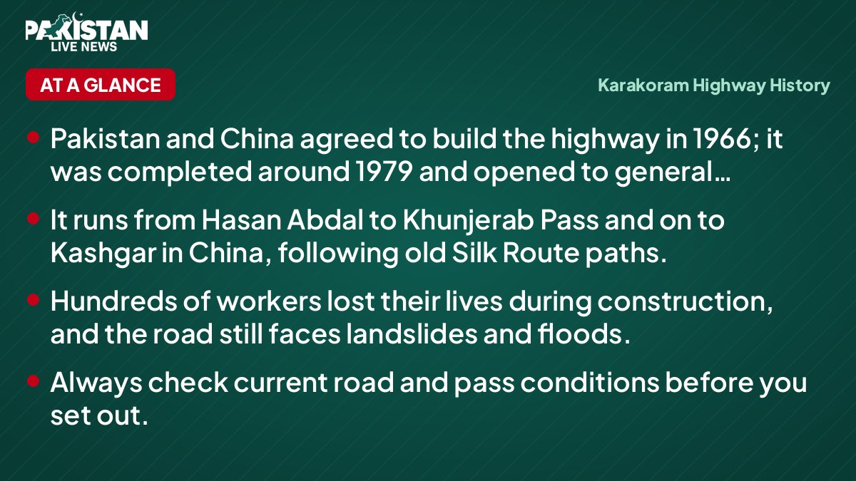
- Pakistan and China agreed to build the highway in 1966; it was completed around 1979 and opened to general travellers in 1986.
- It runs from Hasan Abdal to Khunjerab Pass and on to Kashgar in China, following old Silk Route paths.
- Hundreds of workers lost their lives during construction, and the road still faces landslides and floods.
- Always check current road and pass conditions before you set out.
The Karakoram Highway has a notably dramatic story. It is known in Pakistan as the KKH or N-35. Cut through mountains where the Himalaya, Karakoram and Hindu Kush ranges meet, it links the plains near Islamabad with the Chinese city of Kashgar by way of Khunjerab Pass. It is often described as a major engineering achievement of the twentieth century.
In this article
This short guide to Karakoram Highway history covers why it was built, who built it, what it cost in human terms, and how you can travel it responsibly today.
Karakoram Highway history: the routes before the road
Long before tarmac, the valleys of what is now Gilgit-Baltistan were crossed by traders, pilgrims, soldiers and travellers on branches of the ancient Silk Route. Their paths followed the Indus, Gilgit and Hunza rivers, clinging to cliffs and crossing rope bridges.
Reminders of those journeys survive. Thousands of rock carvings and inscriptions near Chilas and along the upper Indus record the people who passed through, including traders and Buddhist pilgrims. Hunza's forts and the old settlements along the river show how closely life in the valleys was tied to the movement of people and goods.
For much of the twentieth century, however, the far north remained remote. Mountain tracks and jeep roads, many closed by snow or landslides, were the main way in. A reliable all-season link to the rest of Pakistan, let alone to China, was a distant hope.
| Place | Why it matters |
|---|---|
| Hasan Abdal | Commonly treated as the southern starting point of the highway |
| Abbottabad and Mansehra | Gateway towns in Khyber Pakhtunkhwa |
| Besham | Popular overnight halt before the Kohistan stretch |
| Chilas | Known for ancient rock carvings along the Indus |
| Gilgit | Main town and transport hub of Gilgit-Baltistan |
| Karimabad (Hunza) | Base for historic forts and mountain views |
| Passu and Sost | Dramatic scenery and the last major stops before the pass |
| Khunjerab Pass | High-altitude border crossing with China |
1966 to 1979: building the highway
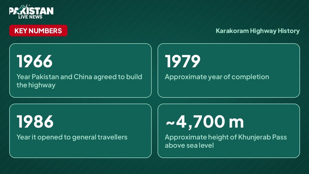
After Pakistan and China settled their boundary in the early 1960s, the two countries agreed in 1966 to build a road across the mountains. Pakistani and Chinese engineers and workers took on the task, with the Pakistan Army's engineers playing a major role on the Pakistani side.
The terrain was brutal. Crews drilled and blasted through rock faces, worked above roaring rivers and battled rockfall, avalanches and extreme cold. The work was often done by hand and with basic equipment at high altitude. Hundreds of workers, both Pakistani and Chinese, lost their lives, and that human cost is part of why the road is remembered with such respect, especially in the communities along it.
The road was completed around 1979. Seven years later, in 1986, it was opened to general travellers and tourists, turning the far north from a closed frontier region into a destination that ordinary families could visit.
Timeline
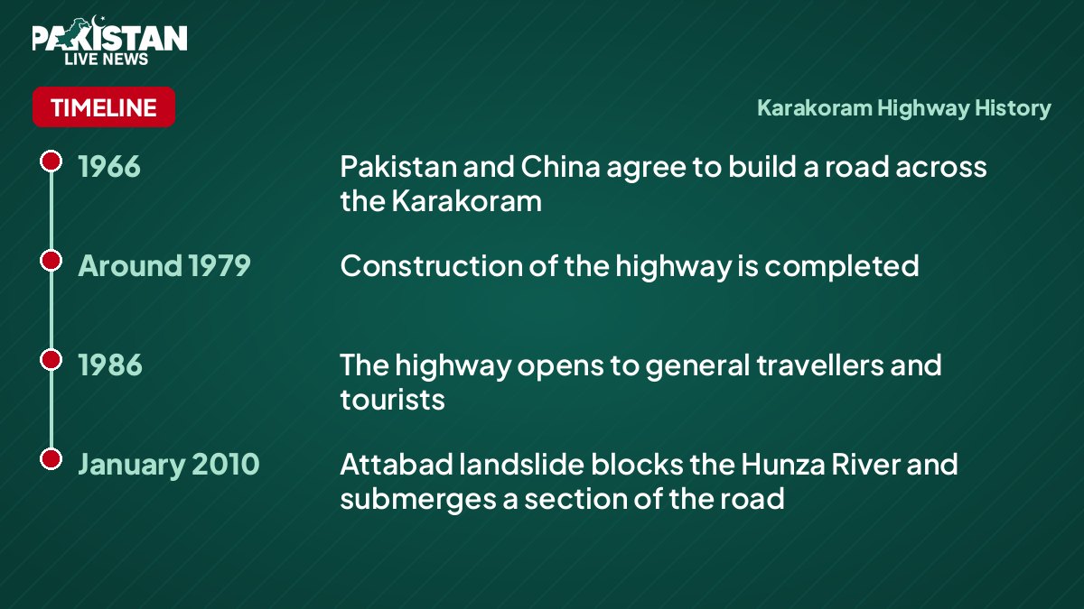
- 1966Pakistan and China agree to build a road across the Karakoram
- Around 1979Construction of the highway is completed
- 1986The highway opens to general travellers and tourists
- January 2010Attabad landslide blocks the Hunza River and submerges a section of the road
What the highway changed
The KKH reshaped daily life in the north. Journeys that once took days or weeks became far shorter. Farmers, shopkeepers and students gained easier access to markets, hospitals and colleges. Cross-border trade through Khunjerab Pass became possible on a regular basis, and the pass is often described as among the highest paved border crossings in the world, at roughly 4,700 metres above sea level.
Tourism followed. Places such as Gilgit, Karimabad, Passu and Sost became familiar names for trekkers, photographers and domestic travellers. Hotels, guesthouses and small businesses grew up along the route, and for many families in Hunza and Gilgit, visitors are now an important part of the local economy.
A road that keeps being tested
Building the highway was not the end of the story. Mountains in this region are young and unstable, and the KKH sits in a landscape of steep slopes, glaciers and fast rivers. Landslides, flash floods and heavy snow regularly close sections of the road, particularly during the monsoon and winter.
A well-known example came in January 2010, when a massive landslide on the Hunza River at Attabad blocked the valley and created a lake that submerged a stretch of the highway. For a period, travellers and goods had to cross the water by boat. Later, new tunnels and realigned sections were built so that the road could be reconnected.
Upgrades and realignments of different sections have continued over the years, including work linked to China-Pakistan economic projects and to new hydropower development along the Indus. The road you drive today is therefore not exactly the one that opened in 1979, and a good deal of its history is still being written.
Travelling the KKH today
If you are planning to follow the route, treat it as a journey rather than a transfer. Many travellers break the trip into stages, with overnight stops in towns such as Besham, Chilas, Gilgit and Karimabad, which also helps with fatigue and altitude.
Check current road, weather and security conditions with official sources, local administration or your hotel before each leg. Landslides can close the road with little warning, so keep some flexibility in your schedule and carry water, snacks and warm clothing. Khunjerab Pass is open only for part of the year because of snow, and rules for visiting and for crossing the border can change, so check the latest official guidance before you go.
Hire an experienced driver if you are not used to mountain roads, avoid driving at night, and be considerate in the villages you pass through. Buying from local shops and staying in locally run guesthouses helps the communities that have lived alongside this road for decades.
Understanding Karakoram Highway history makes the drive richer. Every cutting, tunnel and bridge reflects the effort of people who worked in extreme conditions, and many of them never returned home.
Why the story still matters
The Karakoram Highway is more than a route on the map. It is a symbol of cooperation between Pakistan and China, a lifeline for the communities of Gilgit-Baltistan and a gateway to striking mountain scenery. Remembering the sacrifice behind it, and travelling with care, is a fitting way to honour that legacy.
Questions and answers
How long is the Karakoram Highway?
It is roughly 1,300 km in total, with roughly 800 km on the Pakistani side, running from Hasan Abdal to Khunjerab Pass and onward to Kashgar in China.
When was the Karakoram Highway built?
The agreement to build it was made in 1966, the road was completed around 1979, and it opened to general travellers in 1986.
Is the Karakoram Highway open all year?
Much of the road is usable year-round, but landslides, floods and snow can cause closures, and Khunjerab Pass is open only for part of the year. Always check current official conditions before travelling.